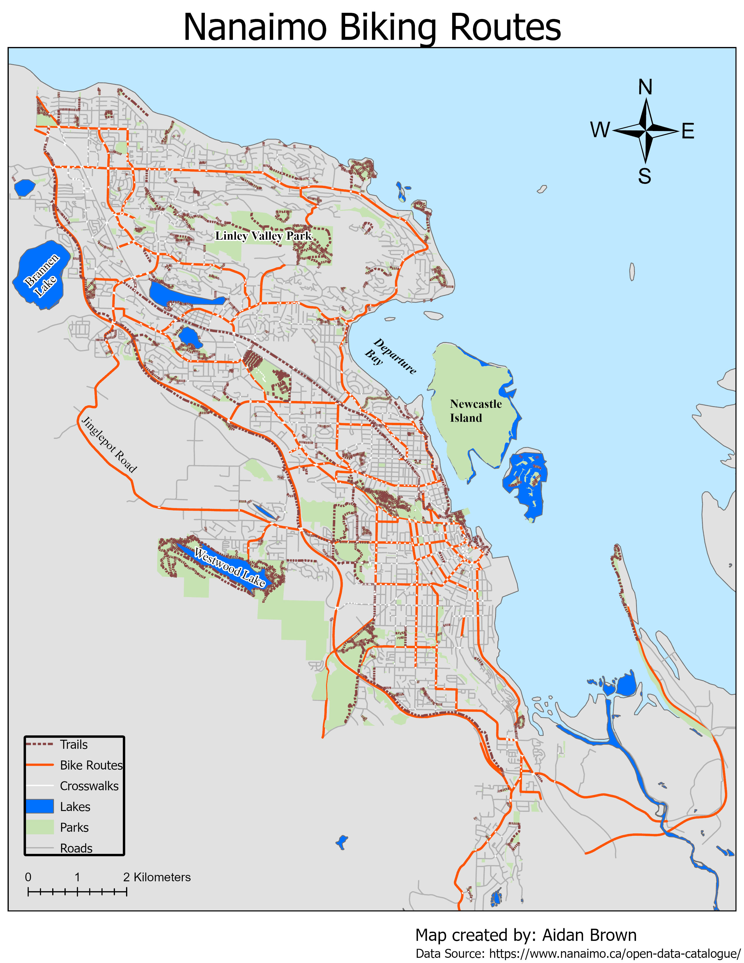
Nanaimo BC - Bike Lanes Map

Outline
During the cartography portion of the program, I was tasked with creating a qualitative map using open data from a Canadian city of choosing.
The map was created using shapefiles from the City of Nanaimo. I wanted the map to highlight the bike lanes especially, but also orientate the viewer on landmarks, like parks and lakes. The main focus on the map should be clear, so I chose a bright orange colour to highlight the bike lanes within the city.
Other elements include;
- Legend - which includes all layer data from the selected shapefiles.
- North facing compass.
- title, author, and data source.
A simple qualitative map using ArcGIS Pro to demonstrate cartographic skills and the use of symbology within the software.
